How much wood?
The sustainable use of forests requires detailed research data. Laser scanning can be used to determine the wood volume up to a single tree. Step into the light beam and join the forest made up of “laser scanned” visitors!
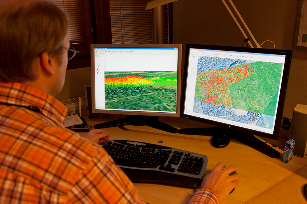
Today, remote sensing is used to assess forest reserves. Remote sensing data can be obtained through, for example, laser scanning, aerial imaging, and satellite data. Operators use aeroplanes or helicopters, flying at an altitude of around two kilometres, to gather laser scanning data, which includes height measurements based on points to determine the crown structure of the tree stand. The laser scanning process also provides details on the habitat of the forest wildlife. Together with data from aerial images, laser scanning data can be used to assess the size and volume of a tree stand as reliably as field observations. Other, additional methods include sample plot measurements and targeted soil inventories. The state of all Finnish forests is assessed through the National Forest Inventories (NFI), which are carried out every five years.